ELEVATION AND EMPOWERMENT

Intelligence at Altitude
Insight at Scale

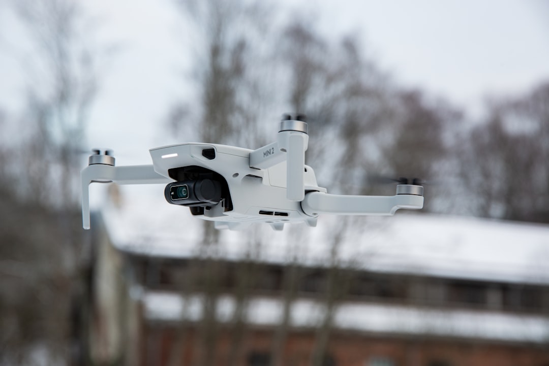
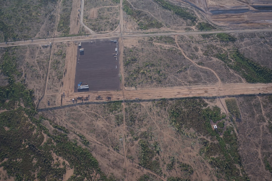
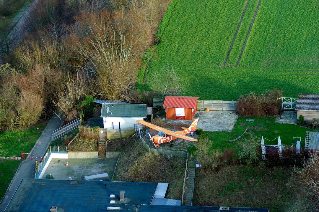
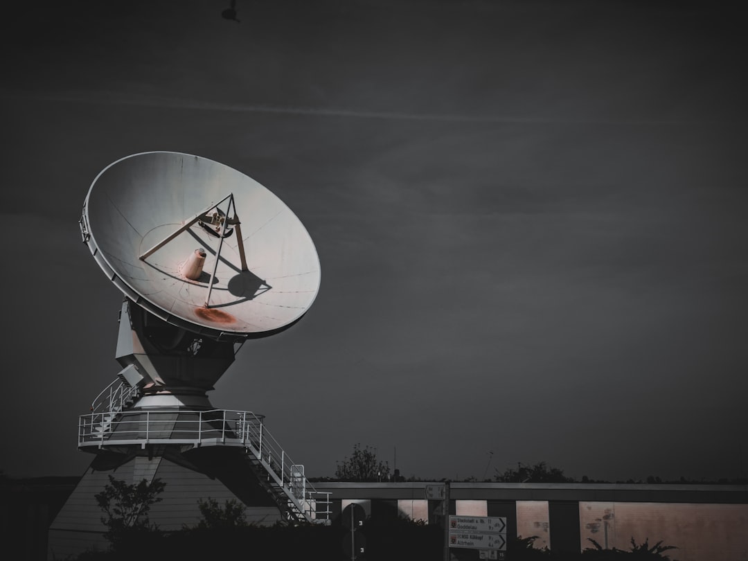
Advanced remote sensing technology that transforms earth observation into actionable intelligence for comprehensive environmental monitoring.

Intelligence at Altitude
Insight on Ground

Unprecedented accuracy and visual intelligence from above, transforming how enterprises understand and operate within the targeted landscapes.

Remote Sensing

Remote Sensing-VFM

Leverage advanced drone mapping to capture precise aerial data that reveals detailed insights for effective resource management and environmental monitoring.

Predictive Analytics

Predictive Analytics

Apply intelligent analytical modeling to sensing inputs, converting raw data into operational foresight across complex environments.

Fleet Management

Fleet Management

Optimize operational movements with intelligent tracking, directing and dynamic routing of managing operations and complex hardware systems.

Real-Time Monitoring

Real-Time Monitoring

Observe and track physical parameters continuously, maintaining an up-to-date operating perspective of variable targets.

95%

DATA ACCURACY

70%

FASTER ANALYSIS

24/7

CONTINUOUS TRACKING

What Makes Us Unique

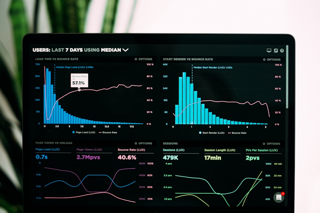
Experience the perfect balance of advanced algorithms with intuitive dashboards that ensure results are highly reliable.

Advanced AI Technology

Cutting edge algorithms ensure consistent accuracy and deeper intelligence, elevating standard analytics to predictive excellence.

95%
Precision

Real-Time Monitoring

Deliver instant updates of operational parameters, enabling immediate response capabilities across the enterprise.

24/7
Monitoring

Scalable Solutions

Adapt seamlessly from localized operations to global networks, aligning precisely with varying business requirements.

10x
Scalability

Why Choose Our Solution?

Comprehensive Coverage
01

Comprehensive Coverage

Monitor vast infrastructure networks with unprecedented efficiency using advanced aerial platforms that deliver complete visibility across your entire operational footprint.

Intelligent Insights
02

Intelligent Insights

Transform raw aerial data into actionable intelligence with AI-powered analytics that identify risks, optimize operations, and drive strategic decision-making.

Proven Reliability
03

Proven Reliability

Trusted by leading energy companies worldwide to protect critical assets and optimize operations through reliable, accurate, and consistent remote sensing capabilities.

Our Approach & Timeline

1
Phase 1

Assessment & Strategy

Timeline: 2-3 weeks

Evaluate site requirements and define monitoring objectives to build a customized observation approach.

2
Phase 2

System Setup & Integration

Timeline: 3-4 weeks

Deploy necessary hardware and software elements, ensuring seamless integration with data pipelines.

3
Phase 3

Testing & Training

Timeline: 2-3 weeks

Conduct extensive validation tests while training user operators to manage and interpret insights effectively.

4
Phase 4

Launch & Sustain

Timeline: 1 week

Initiate full-scale operations with continued compliance monitoring and system support services.

See From Above.
Intelligent Remote Sensing

Ready to elevate your operational insights from a higher perspective? Take advantage of our intelligent remote sensing today.

ENTERPRISE SECURITY
GLOBAL SUPPORT
PROVEN RESULTS